Wonderful!
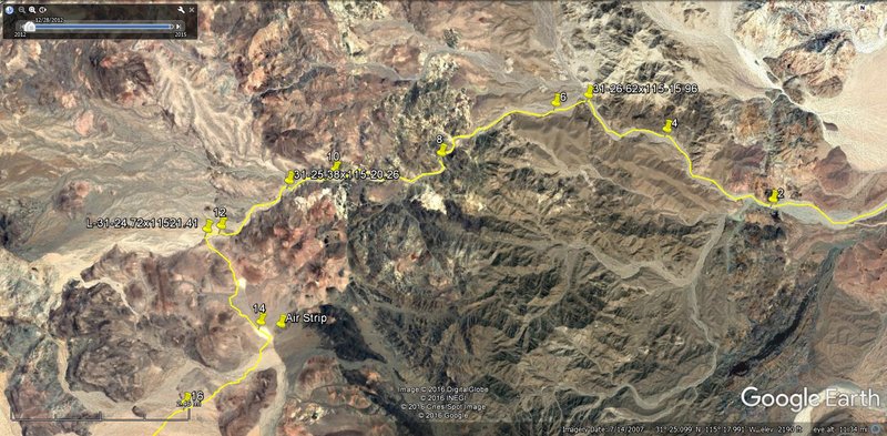
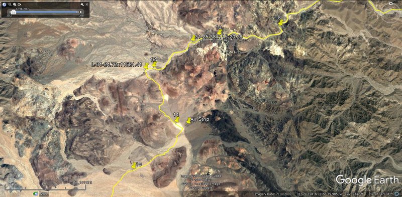
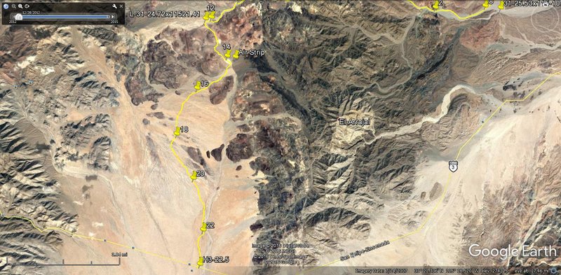
Use the hint that Walter gave us, that he was seeking a way to the Sierra las Palmitas and Tinajas, for the rumored blue palms. He knew they were too
far south, but that was the only route they found from the San Felipe road to the base of the small mountains, east of the Sierra Juarez.
That is why I guessed he would have hiked northwest to the divide and not straight west from the Model A. He came back a different route, from the
base of Cerro Borrego, so that I think Arroyo Arrajal was on or parallel to his return route back from Arroyo Grande?
Obviously we will not know any of this for sure until the rock pile is discovered! I wish you luck! I do have a planned return expedition, perhaps
after the heat of September? |